
金山镇 topographic map
Interactive map
Click on the map to display elevation.
About this map
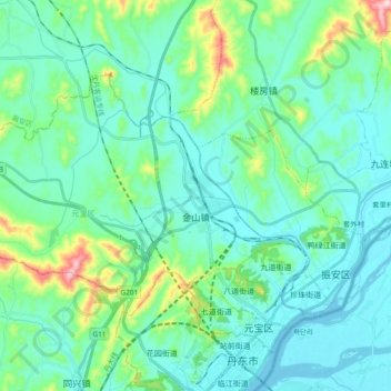
Name: 金山镇 topographic map, elevation, terrain.
Location: 金山镇, 元宝区, 丹东市, 辽宁省, 118000, 中国 (40.14023 124.22185 40.22923 124.41104)
Average elevation: 61 m
Minimum elevation: -6 m
Maximum elevation: 341 m
Other topographic maps
Click on a map to view its topography, its elevation and its terrain.