
集贤村 topographic map
Interactive map
Click on the map to display elevation.
About this map
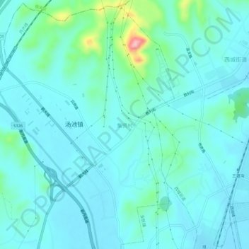
Name: 集贤村 topographic map, elevation, terrain.
Location: 集贤村, 汤池镇, 振兴区, 丹东市, 辽宁省, 118000, 中国 (40.04418 124.28096 40.08418 124.32096)
Average elevation: 30 m
Minimum elevation: 4 m
Maximum elevation: 177 m