
大兴镇 topographic map
Interactive map
Click on the map to display elevation.
About this map
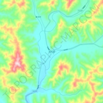
Name: 大兴镇 topographic map, elevation, terrain.
Location: 大兴镇, 凤城市, 丹东市, 辽宁省, 中国 (40.69199 124.19878 40.77199 124.27878)
Average elevation: 287 m
Minimum elevation: 150 m
Maximum elevation: 603 m
Other topographic maps
Click on a map to view its topography, its elevation and its terrain.