
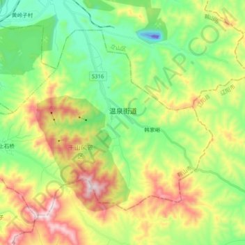
温泉街道 topographic map
Interactive map
Click on the map to display elevation.
About this map
Name: 温泉街道 topographic map, elevation, terrain.
Location: 温泉街道, 铁东区, 鞍山市, 辽宁省, 中国 (40.97733 123.04864 41.06730 123.20650)
Average elevation: 251 m
Minimum elevation: -92 m
Maximum elevation: 672 m
Other topographic maps
Click on a map to view its topography, its elevation and its terrain.