
徽城镇 topographic map
Interactive map
Click on the map to display elevation.
About this map
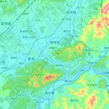
Name: 徽城镇 topographic map, elevation, terrain.
Location: 徽城镇, 歙县, 黄山市, 安徽省, 中国 (29.82805 118.38600 29.90834 118.53748)
Average elevation: 166 m
Minimum elevation: 100 m
Maximum elevation: 509 m
Other topographic maps
Click on a map to view its topography, its elevation and its terrain.