
潭石 topographic map
Interactive map
Click on the map to display elevation.
About this map
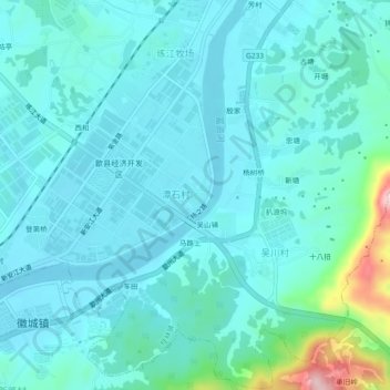
Name: 潭石 topographic map, elevation, terrain.
Location: 潭石, 桂林镇, 歙县, 黄山市, 安徽省, 中国 (29.87654 118.44203 29.91654 118.48203)
Average elevation: 144 m
Minimum elevation: 109 m
Maximum elevation: 351 m
Other topographic maps
Click on a map to view its topography, its elevation and its terrain.