
徐村 topographic map
Interactive map
Click on the map to display elevation.
About this map
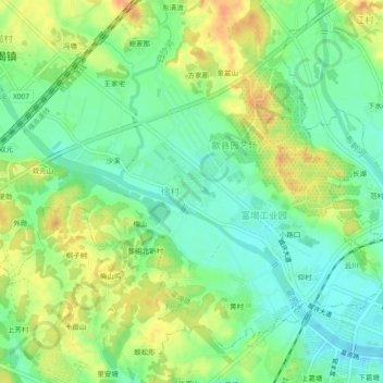
Name: 徐村 topographic map, elevation, terrain.
Location: 徐村, 富堨镇, 歙县, 黄山市, 安徽省, 245200, 中国 (29.87176 118.37778 29.91176 118.41778)
Average elevation: 128 m
Minimum elevation: 111 m
Maximum elevation: 149 m
Other topographic maps
Click on a map to view its topography, its elevation and its terrain.