
金川乡 topographic map
Interactive map
Click on the map to display elevation.
About this map
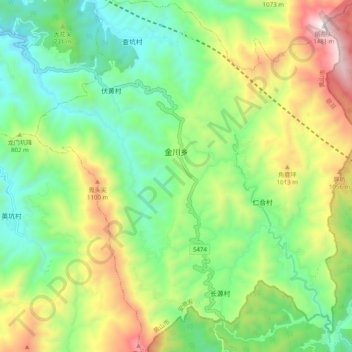
Name: 金川乡 topographic map, elevation, terrain.
Location: 金川乡, 歙县, 黄山市, 安徽省, 中国 (29.93296 118.80395 30.01846 118.89440)
Average elevation: 681 m
Minimum elevation: 257 m
Maximum elevation: 1,456 m
Other topographic maps
Click on a map to view its topography, its elevation and its terrain.