
峤山 topographic map
Interactive map
Click on the map to display elevation.
About this map
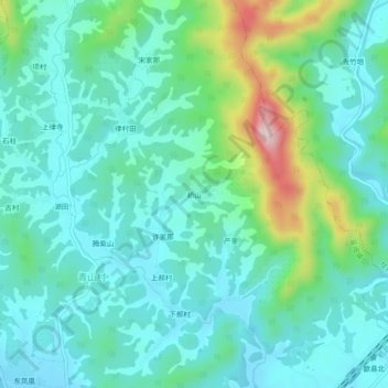
Name: 峤山 topographic map, elevation, terrain.
Location: 峤山, 富堨镇, 歙县, 黄山市, 安徽省, 中国 (29.92119 118.36380 29.96119 118.40380)
Average elevation: 198 m
Minimum elevation: 131 m
Maximum elevation: 435 m
Other topographic maps
Click on a map to view its topography, its elevation and its terrain.