
棠樾 topographic map
Interactive map
Click on the map to display elevation.
About this map
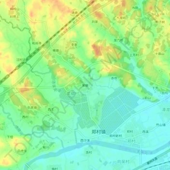
Name: 棠樾 topographic map, elevation, terrain.
Location: 棠樾, 郑村镇, 歙县, 黄山市, 安徽省, 中国 (29.85028 118.34355 29.89028 118.38355)
Average elevation: 130 m
Minimum elevation: 114 m
Maximum elevation: 150 m