
森村乡 topographic map
Interactive map
Click on the map to display elevation.
About this map
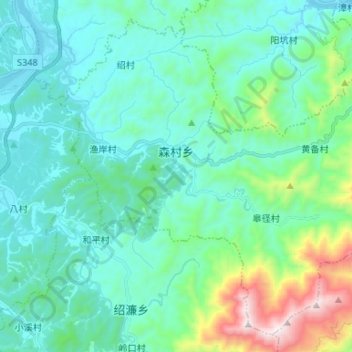
Name: 森村乡 topographic map, elevation, terrain.
Location: 森村乡, 歙县, 黄山市, 安徽省, 中国 (29.69720 118.43663 29.80023 118.56910)
Average elevation: 303 m
Minimum elevation: 101 m
Maximum elevation: 1,201 m
Other topographic maps
Click on a map to view its topography, its elevation and its terrain.