
峡岔 topographic map
Interactive map
Click on the map to display elevation.
About this map
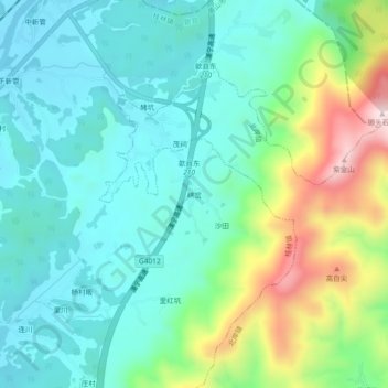
Name: 峡岔 topographic map, elevation, terrain.
Location: 峡岔, 桂林镇, 歙县, 黄山市, 安徽省, 中国 (29.92823 118.49917 29.96823 118.53917)
Average elevation: 260 m
Minimum elevation: 121 m
Maximum elevation: 652 m
Other topographic maps
Click on a map to view its topography, its elevation and its terrain.