
昌溪乡 topographic map
Interactive map
Click on the map to display elevation.
About this map
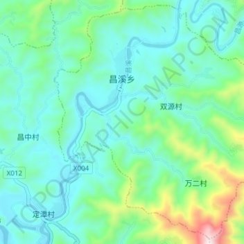
Name: 昌溪乡 topographic map, elevation, terrain.
Location: 昌溪乡, 歙县, 黄山市, 安徽省, 中国 (29.87648 118.62752 29.92776 118.68920)
Average elevation: 227 m
Minimum elevation: 94 m
Maximum elevation: 731 m
Other topographic maps
Click on a map to view its topography, its elevation and its terrain.