
溪头镇 topographic map
Interactive map
Click on the map to display elevation.
About this map
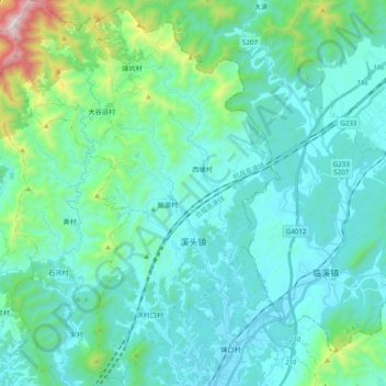
Name: 溪头镇 topographic map, elevation, terrain.
Location: 溪头镇, 歙县, 黄山市, 安徽省, 中国 (29.94029 118.37184 30.10969 118.51322)
Average elevation: 311 m
Minimum elevation: 119 m
Maximum elevation: 1,374 m
Other topographic maps
Click on a map to view its topography, its elevation and its terrain.