
雄村 topographic map
Interactive map
Click on the map to display elevation.
About this map
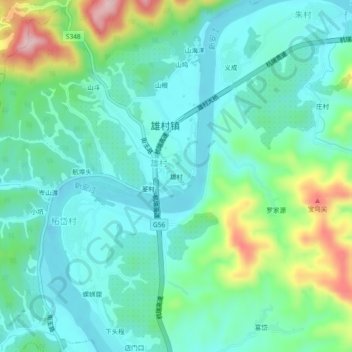
Name: 雄村 topographic map, elevation, terrain.
Location: 雄村, 雄村镇, 歙县, 黄山市, 安徽省, 中国 (29.79644 118.41721 29.83644 118.45721)
Average elevation: 158 m
Minimum elevation: 97 m
Maximum elevation: 339 m
Other topographic maps
Click on a map to view its topography, its elevation and its terrain.