
黄家坝村 topographic map
Interactive map
Click on the map to display elevation.
About this map
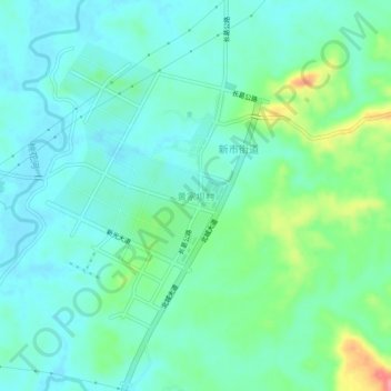
Name: 黄家坝村 topographic map, elevation, terrain.
Location: 黄家坝村, 长寿区, 重庆市, 中国 (29.93010 107.07795 29.97010 107.11795)
Average elevation: 339 m
Minimum elevation: 317 m
Maximum elevation: 410 m
Other topographic maps
Click on a map to view its topography, its elevation and its terrain.