
庙坝镇 topographic map
Interactive map
Click on the map to display elevation.
About this map
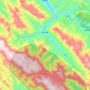
Name: 庙坝镇 topographic map, elevation, terrain.
Location: 庙坝镇, 城口县, 重庆市, 中国 (31.83464 108.42423 31.98776 108.62883)
Average elevation: 1,438 m
Minimum elevation: 567 m
Maximum elevation: 2,449 m
Other topographic maps
Click on a map to view its topography, its elevation and its terrain.