
古佛 topographic map
Interactive map
Click on the map to display elevation.
About this map
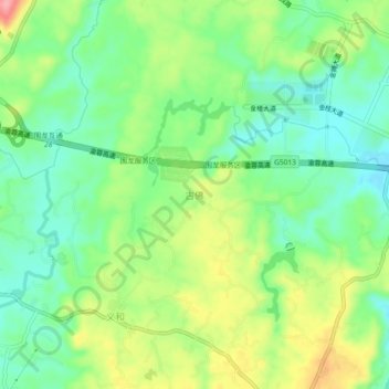
Name: 古佛 topographic map, elevation, terrain.
Location: 古佛, 铜梁区, 重庆市, 中国 (29.61053 106.02041 29.65053 106.06041)
Average elevation: 319 m
Minimum elevation: 277 m
Maximum elevation: 389 m
Other topographic maps
Click on a map to view its topography, its elevation and its terrain.