
龙潭镇 topographic map
Interactive map
Click on the map to display elevation.
About this map
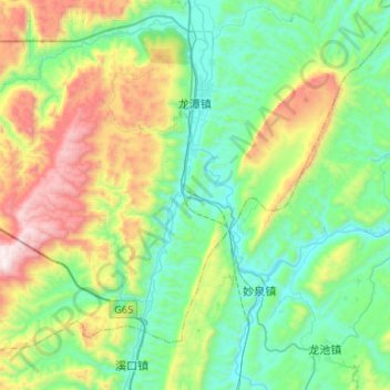
Name: 龙潭镇 topographic map, elevation, terrain.
Location: 龙潭镇, 酉阳土家族苗族自治县, 重庆市, 中国 (28.58507 108.79812 28.81708 109.05098)
Average elevation: 646 m
Minimum elevation: 272 m
Maximum elevation: 1,565 m
Other topographic maps
Click on a map to view its topography, its elevation and its terrain.