
坝麻村 topographic map
Interactive map
Click on the map to display elevation.
About this map
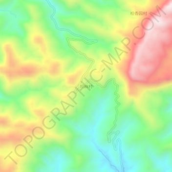
Name: 坝麻村 topographic map, elevation, terrain.
Location: 坝麻村, 龙凤坝镇, 秀山土家族苗族自治县, 重庆市, 中国 (28.38423 108.78175 28.42423 108.82175)
Average elevation: 724 m
Minimum elevation: 450 m
Maximum elevation: 1,084 m