
翠云南山文化广场 topographic map
Interactive map
Click on the map to display elevation.
About this map
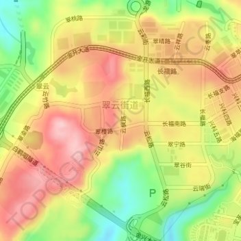
Name: 翠云南山文化广场 topographic map, elevation, terrain.
Location: 翠云南山文化广场, 翠云街道, 渝北区, 重庆市, 中国 (29.68293 106.57893 29.68462 106.57931)
Average elevation: 398 m
Minimum elevation: 294 m
Maximum elevation: 481 m
Other topographic maps
Click on a map to view its topography, its elevation and its terrain.