Geolocate

中梁镇 topographic map

Interactive map

Click on the map to display elevation.

About this map

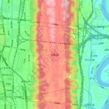
Name: 中梁镇 topographic map, elevation, terrain.

Location: 中梁镇, 沙坪坝区, 重庆市, 中国 (29.60344 106.36934 29.68344 106.44934)

Average elevation: 350 m

Minimum elevation: 160 m

Maximum elevation: 632 m

Other topographic maps

Click on a map to view its topography, its elevation and its terrain.

西永街道

中国 > 重庆市 > 沙坪坝区 > 永祥社区

西永街道, 重庆高新区, 永祥社区, 沙坪坝区, 重庆市, 中国

Average elevation: 370 m

崇贤社区

中国 > 重庆市 > 沙坪坝区

崇贤社区, 沙坪坝区, 重庆市, 401331, 中国

Average elevation: 292 m

天马山社区

中国 > 重庆市 > 沙坪坝区

天马山社区, 沙坪坝区, 重庆市, 401331, 中国

Average elevation: 292 m

永祥社区

中国 > 重庆市 > 沙坪坝区

永祥社区, 沙坪坝区, 重庆市, 中国

Average elevation: 293 m

磁器口街道

中国 > 重庆市 > 沙坪坝区

磁器口街道, 沙坪坝区, 重庆市主城都市区, 重庆市, 400030, 中国

Average elevation: 309 m

双碑街道

中国 > 重庆市 > 沙坪坝区

双碑街道, 沙坪坝区, 重庆市, 400030, 中国

Average elevation: 330 m

虎溪街道

中国 > 重庆市 > 沙坪坝区

虎溪街道, 重庆高新区, 沙坪坝区, 重庆市, 401331, 中国

Average elevation: 356 m