
长坝镇 topographic map
Interactive map
Click on the map to display elevation.
About this map
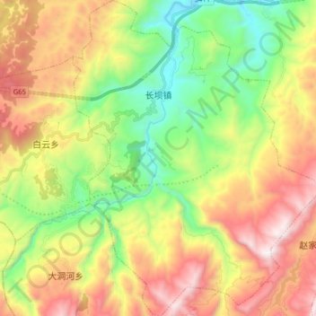
Name: 长坝镇 topographic map, elevation, terrain.
Location: 长坝镇, 武隆区, 重庆市, 中国 (29.23765 107.43193 29.37580 107.55562)
Average elevation: 835 m
Minimum elevation: 196 m
Maximum elevation: 1,670 m
Other topographic maps
Click on a map to view its topography, its elevation and its terrain.