
大山村 topographic map
Interactive map
Click on the map to display elevation.
About this map
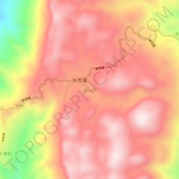
Name: 大山村 topographic map, elevation, terrain.
Location: 大山村, 水市镇, 黔江区, 重庆市, 中国 (29.22117 108.68206 29.26117 108.72206)
Average elevation: 1,123 m
Minimum elevation: 687 m
Maximum elevation: 1,324 m