
黑门尖 topographic map
Interactive map
Click on the map to display elevation.
About this map
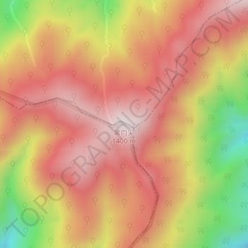
Name: 黑门尖 topographic map, elevation, terrain.
Location: 黑门尖, 黄山市, 安徽省, 中国 (30.07395 118.29223 30.07405 118.29233)
Average elevation: 1,110 m
Minimum elevation: 690 m
Maximum elevation: 1,360 m
Other topographic maps
Click on a map to view its topography, its elevation and its terrain.