
林历山 topographic map
Interactive map
Click on the map to display elevation.
About this map
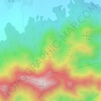
Name: 林历山 topographic map, elevation, terrain.
Location: 林历山, 黄山市, 安徽省, 中国 (29.88790 117.91168 29.88800 117.91178)
Average elevation: 416 m
Minimum elevation: 198 m
Maximum elevation: 783 m
Other topographic maps
Click on a map to view its topography, its elevation and its terrain.