
西递 topographic map
Interactive map
Click on the map to display elevation.
About this map
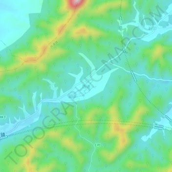
Name: 西递 topographic map, elevation, terrain.
Location: 西递, 黄山市, 安徽省, 中国 (29.88611 117.97129 29.92611 118.01129)
Average elevation: 295 m
Minimum elevation: 202 m
Maximum elevation: 568 m
Other topographic maps
Click on a map to view its topography, its elevation and its terrain.