
瞻淇村 topographic map
Interactive map
Click on the map to display elevation.
About this map
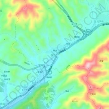
Name: 瞻淇村 topographic map, elevation, terrain.
Location: 瞻淇村, 黄山市, 安徽省, 中国 (29.85653 118.49708 29.89653 118.53708)
Average elevation: 201 m
Minimum elevation: 107 m
Maximum elevation: 414 m
Other topographic maps
Click on a map to view its topography, its elevation and its terrain.