
福洲 topographic map
Interactive map
Click on the map to display elevation.
About this map
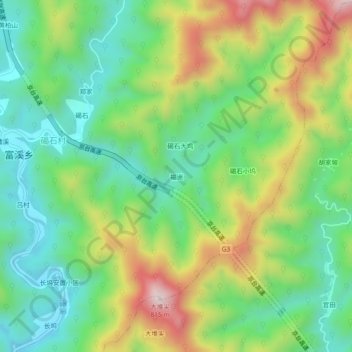
Name: 福洲 topographic map, elevation, terrain.
Location: 福洲, 徽州区, 黄山市, 安徽省, 中国 (29.97761 118.21872 30.01761 118.25872)
Average elevation: 437 m
Minimum elevation: 226 m
Maximum elevation: 806 m
Other topographic maps
Click on a map to view its topography, its elevation and its terrain.