
光明顶 topographic map
Interactive map
Click on the map to display elevation.
About this map
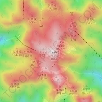
Name: 光明顶 topographic map, elevation, terrain.
Location: 光明顶, 黄山市, 安徽省, 中国 (30.13457 118.16308 30.13467 118.16318)
Average elevation: 1,516 m
Minimum elevation: 1,100 m
Maximum elevation: 1,810 m
Other topographic maps
Click on a map to view its topography, its elevation and its terrain.