
屯光镇 topographic map
Interactive map
Click on the map to display elevation.
About this map
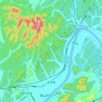
Name: 屯光镇 topographic map, elevation, terrain.
Location: 屯光镇, 屯溪区, 黄山市, 安徽省, 中国 (29.71228 118.31954 29.78647 118.40177)
Average elevation: 170 m
Minimum elevation: 108 m
Maximum elevation: 411 m
Other topographic maps
Click on a map to view its topography, its elevation and its terrain.