
徽州区 topographic map
Interactive map
Click on the map to display elevation.
About this map
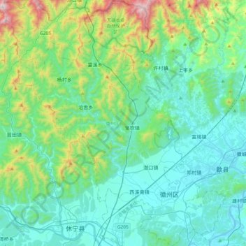
Name: 徽州区 topographic map, elevation, terrain.
Location: 徽州区, 黄山市, 安徽省, 中国 (29.76309 118.09822 30.08394 118.41469)
Average elevation: 342 m
Minimum elevation: 104 m
Maximum elevation: 1,392 m
Other topographic maps
Click on a map to view its topography, its elevation and its terrain.