
吴村镇 topographic map
Interactive map
Click on the map to display elevation.
About this map
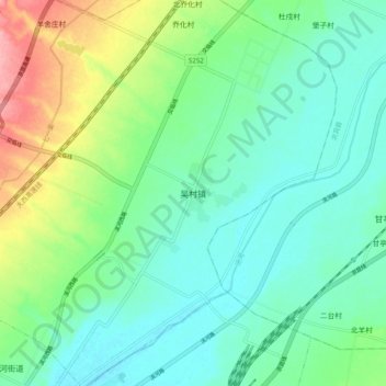
Name: 吴村镇 topographic map, elevation, terrain.
Location: 吴村镇, 尧都区, 临汾市, 山西省, 中国 (36.14500 111.51000 36.22500 111.59000)
Average elevation: 455 m
Minimum elevation: 425 m
Maximum elevation: 534 m
Other topographic maps
Click on a map to view its topography, its elevation and its terrain.