
碛口镇 topographic map
Interactive map
Click on the map to display elevation.
About this map
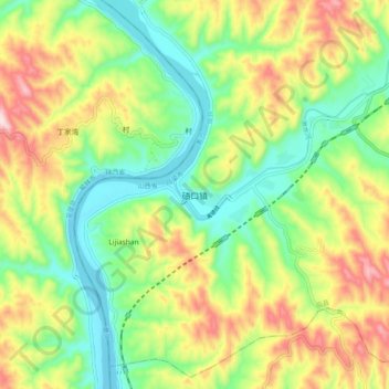
Name: 碛口镇 topographic map, elevation, terrain.
Location: 碛口镇, 临县, 吕梁市, 山西省, 中国 (37.60180 110.74900 37.68180 110.82900)
Average elevation: 805 m
Minimum elevation: 652 m
Maximum elevation: 1,037 m
Other topographic maps
Click on a map to view its topography, its elevation and its terrain.