
保德县 topographic map
Interactive map
Click on the map to display elevation.
About this map
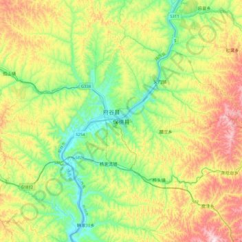
Name: 保德县 topographic map, elevation, terrain.
Location: 保德县, 忻州市, 山西省, 中国 (38.85834 110.91483 39.17834 111.23483)
Average elevation: 1,046 m
Minimum elevation: 793 m
Maximum elevation: 1,496 m