
韩店街道 topographic map
Interactive map
Click on the map to display elevation.
About this map
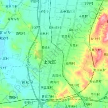
Name: 韩店街道 topographic map, elevation, terrain.
Location: 韩店街道, 上党区, 长治市, 山西省, 中国 (36.00808 113.01277 36.10586 113.09320)
Average elevation: 987 m
Minimum elevation: 929 m
Maximum elevation: 1,172 m
Other topographic maps
Click on a map to view its topography, its elevation and its terrain.