
东北角村 topographic map
Interactive map
Click on the map to display elevation.
About this map
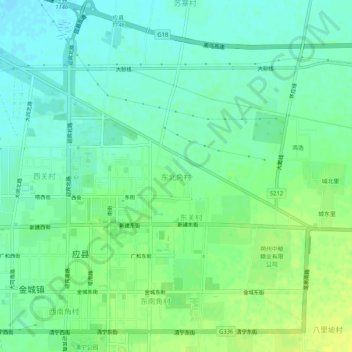
Name: 东北角村 topographic map, elevation, terrain.
Location: 东北角村, 应县, 朔州市, 山西省, 中国 (39.54580 113.17491 39.58580 113.21491)
Average elevation: 1,005 m
Minimum elevation: 997 m
Maximum elevation: 1,014 m
Other topographic maps
Click on a map to view its topography, its elevation and its terrain.