
龙源村 topographic map
Interactive map
Click on the map to display elevation.
About this map
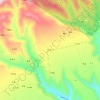
Name: 龙源村 topographic map, elevation, terrain.
Location: 龙源村, 平陆县, 运城市, 山西省, 中国 (34.85811 111.03426 34.89811 111.07426)
Average elevation: 760 m
Minimum elevation: 518 m
Maximum elevation: 997 m
Other topographic maps
Click on a map to view its topography, its elevation and its terrain.