
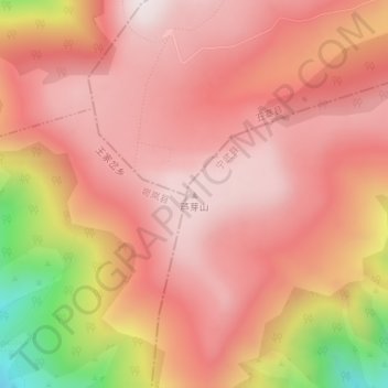
芦芽山 topographic map
Interactive map
Click on the map to display elevation.
About this map
Name: 芦芽山 topographic map, elevation, terrain.
Location: 芦芽山, 宁武县, 忻州市, 山西省, 中国 (38.71372 111.84282 38.71382 111.84292)
Average elevation: 2,594 m
Minimum elevation: 2,127 m
Maximum elevation: 2,785 m
Other topographic maps
Click on a map to view its topography, its elevation and its terrain.