
神树沟村 topographic map
Interactive map
Click on the map to display elevation.
About this map
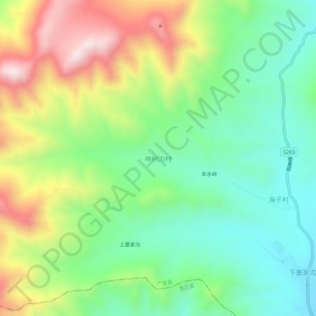
Name: 神树沟村 topographic map, elevation, terrain.
Location: 神树沟村, 大同市, 山西省, 中国 (39.62010 114.02754 39.66010 114.06754)
Average elevation: 1,644 m
Minimum elevation: 1,420 m
Maximum elevation: 2,022 m
Other topographic maps
Click on a map to view its topography, its elevation and its terrain.