
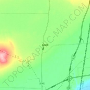
赵康镇 topographic map
Interactive map
Click on the map to display elevation.
About this map
Name: 赵康镇 topographic map, elevation, terrain.
Location: 赵康镇, 襄汾县, 临汾市, 山西省, 中国 (35.68053 111.20725 35.76053 111.28725)
Average elevation: 463 m
Minimum elevation: 401 m
Maximum elevation: 582 m
Other topographic maps
Click on a map to view its topography, its elevation and its terrain.