
麻涌镇 topographic map
Interactive map
Click on the map to display elevation.
About this map
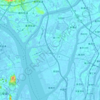
Name: 麻涌镇 topographic map, elevation, terrain.
Location: 麻涌镇, 东莞市, 广东省, 中国 (22.96191 113.51648 23.10312 113.61283)
Average elevation: 3 m
Minimum elevation: -14 m
Maximum elevation: 135 m
Other topographic maps
Click on a map to view its topography, its elevation and its terrain.