
银瓶嘴-白云嶂山区 topographic map
Interactive map
Click on the map to display elevation.
About this map
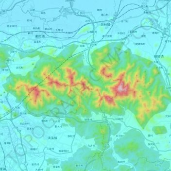
Name: 银瓶嘴-白云嶂山区 topographic map, elevation, terrain.
Location: 银瓶嘴-白云嶂山区, 东莞市, 广东省, 中国 (22.84636 114.09134 22.95656 114.32528)
Average elevation: 128 m
Minimum elevation: 1 m
Maximum elevation: 980 m
Other topographic maps
Click on a map to view its topography, its elevation and its terrain.