
马滩 topographic map
Interactive map
Click on the map to display elevation.
About this map
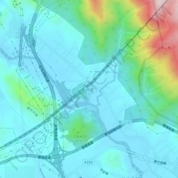
Name: 马滩 topographic map, elevation, terrain.
Location: 马滩, 东莞市, 广东省, 中国 (22.85396 114.09273 22.89396 114.13273)
Average elevation: 111 m
Minimum elevation: 9 m
Maximum elevation: 597 m
Other topographic maps
Click on a map to view its topography, its elevation and its terrain.