
石碣镇 topographic map
Interactive map
Click on the map to display elevation.
About this map
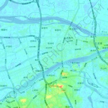
Name: 石碣镇 topographic map, elevation, terrain.
Location: 石碣镇, 东莞市, 广东省, 中国 (23.07140 113.74537 23.13387 113.84185)
Average elevation: 7 m
Minimum elevation: -5 m
Maximum elevation: 61 m
Other topographic maps
Click on a map to view its topography, its elevation and its terrain.