
东坑镇 topographic map
Interactive map
Click on the map to display elevation.
About this map
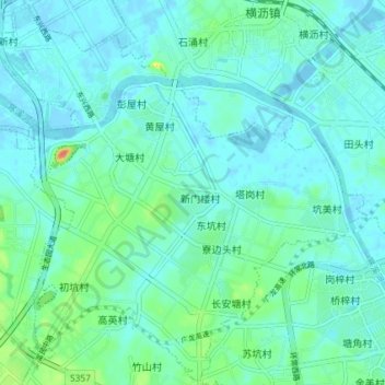
Name: 东坑镇 topographic map, elevation, terrain.
Location: 东坑镇, 东莞市, 广东省, 中国 (22.96506 113.90098 23.03059 113.97368)
Average elevation: 11 m
Minimum elevation: -7 m
Maximum elevation: 61 m
Other topographic maps
Click on a map to view its topography, its elevation and its terrain.