
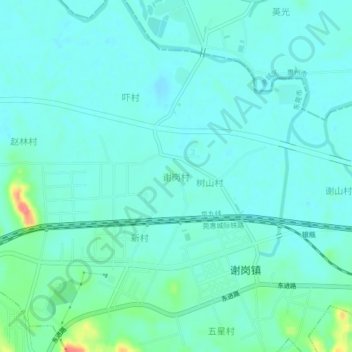
谢岗村 topographic map
Interactive map
Click on the map to display elevation.
About this map
Name: 谢岗村 topographic map, elevation, terrain.
Location: 谢岗村, 东莞市, 广东省, 516039, 中国 (22.95469 114.11512 22.99469 114.15512)
Average elevation: 13 m
Minimum elevation: 0 m
Maximum elevation: 70 m
Other topographic maps
Click on a map to view its topography, its elevation and its terrain.