
洪梅镇 topographic map
Interactive map
Click on the map to display elevation.
About this map
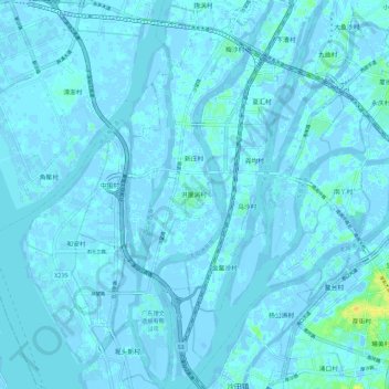
Name: 洪梅镇 topographic map, elevation, terrain.
Location: 洪梅镇, 东莞市, 广东省, 中国 (22.92138 113.57535 23.02765 113.63020)
Average elevation: 1 m
Minimum elevation: -17 m
Maximum elevation: 23 m
Other topographic maps
Click on a map to view its topography, its elevation and its terrain.