
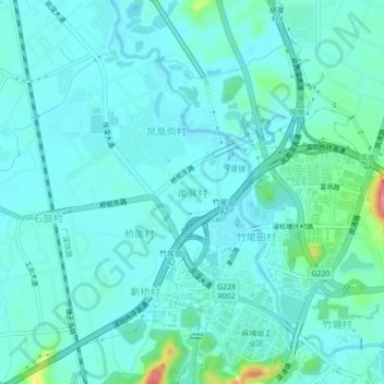
南屏村 topographic map
Interactive map
Click on the map to display elevation.
About this map
Name: 南屏村 topographic map, elevation, terrain.
Location: 南屏村, 东莞市, 广东省, 523710, 中国 (22.75245 114.09820 22.79245 114.13820)
Average elevation: 34 m
Minimum elevation: 18 m
Maximum elevation: 118 m
Other topographic maps
Click on a map to view its topography, its elevation and its terrain.