
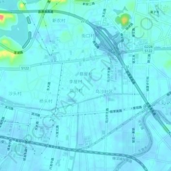
陈屋村 topographic map
Interactive map
Click on the map to display elevation.
About this map
Name: 陈屋村 topographic map, elevation, terrain.
Location: 陈屋村, 东莞市, 广东省, 523850, 中国 (22.77380 113.76025 22.81380 113.80025)
Average elevation: 7 m
Minimum elevation: -16 m
Maximum elevation: 77 m
Other topographic maps
Click on a map to view its topography, its elevation and its terrain.